ODU Receives NASA and NOAA Grants to Study Climate Mitigation Efforts
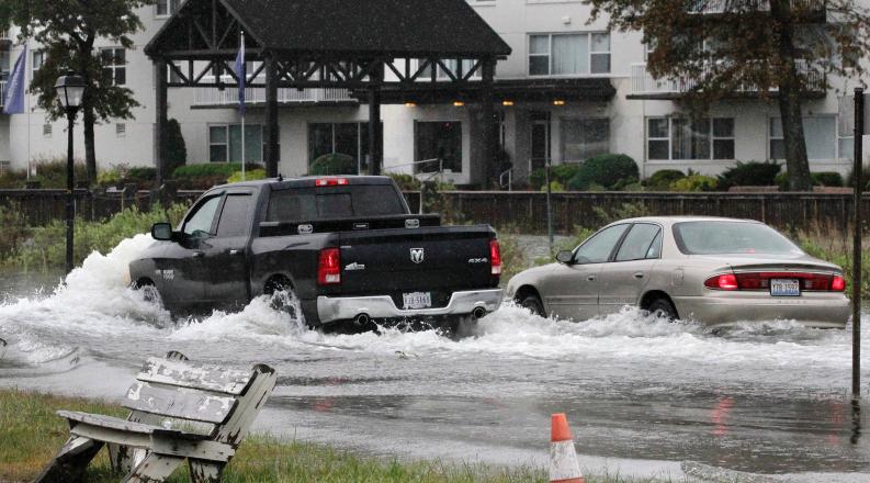
Climate change and sea level rise are forcing leaders in coastal areas to make important decisions about the health and safety of their communities.

Climate change and sea level rise are forcing leaders in coastal areas to make important decisions about the health and safety of their communities.
With the help of researchers from Old Dominion University, decision makers in Hampton Roads will better understand their mitigation options.
ODU has received two grants – one from the National Aeronautics and Space Administration (NASA) and one from the National Oceanic and Atmospheric Administration (NOAA) – to explore how flood mitigation measures can reduce vulnerabilities related to transportation infrastructure and public health in the region.
The NASA grant totals $1.2 million over two years. Researchers will combine technologies such as satellite imagery, flood sensors and drones to collect data for a geographic information system (GIS) and hydrodynamic modeling of flooding. The GIS will serve as a “digital twin,” with the ability to simulate the effects of sea level rise, flooding and extreme weather events on vulnerable neighborhoods and future populations.
“It will sort of be like a time machine,” said Tom Allen, a geography professor at ODU and principal investigator (PI) for the NASA grant. “We could go to 2040 and say, ‘Here is sea level rise, here is a storm surge, here is the future population,’ and simulate how communities may respond to those conditions.”
 Zone 2A - AVAILABLE FOR ADVERTISING
 Zone 2B - AVAILABLE FOR ADVERTISING
 Zone 2C - AVAILABLE FOR ADVERTISING
Medical Schools / Universities Health Research & Education:
ODU Receives NASA and NOAA Grants to Study Climate Mitigation Efforts
Climate change and sea level rise are forcing leaders in coastal areas to make important decisions about the health and safety of their communities.

Climate change and sea level rise are forcing leaders in coastal areas to make important decisions about the health and safety of their communities.
With the help of researchers from Old Dominion University, decision makers in Hampton Roads will better understand their mitigation options.
ODU has received two grants – one from the National Aeronautics and Space Administration (NASA) and one from the National Oceanic and Atmospheric Administration (NOAA) – to explore how flood mitigation measures can reduce vulnerabilities related to transportation infrastructure and public health in the region.
The NASA grant totals $1.2 million over two years. Researchers will combine technologies such as satellite imagery, flood sensors and drones to collect data for a geographic information system (GIS) and hydrodynamic modeling of flooding. The GIS will serve as a “digital twin,” with the ability to simulate the effects of sea level rise, flooding and extreme weather events on vulnerable neighborhoods and future populations.
“It will sort of be like a time machine,” said Tom Allen, a geography professor at ODU and principal investigator (PI) for the NASA grant. “We could go to 2040 and say, ‘Here is sea level rise, here is a storm surge, here is the future population,’ and simulate how communities may respond to those conditions.”
Source: odu.edu
 Zone 2A - AVAILABLE FOR ADVERTISING
 Zone 2B - AVAILABLE FOR ADVERTISING
 Zone 2C - AVAILABLE FOR ADVERTISING
From the same category

NSU RECEIVES $1.5M FROM THE NATIONAL SCIENCE FOUNDATION
Tourino Jacks Communications and Marketing Intern

Joint effort between Massey Cancer Center, Virginia State University aims to reduce cancer disparities
The two institutions are teaming up as part of a $1.7 million National Cancer Institute “team science”

